Tax Ditches and PDAs
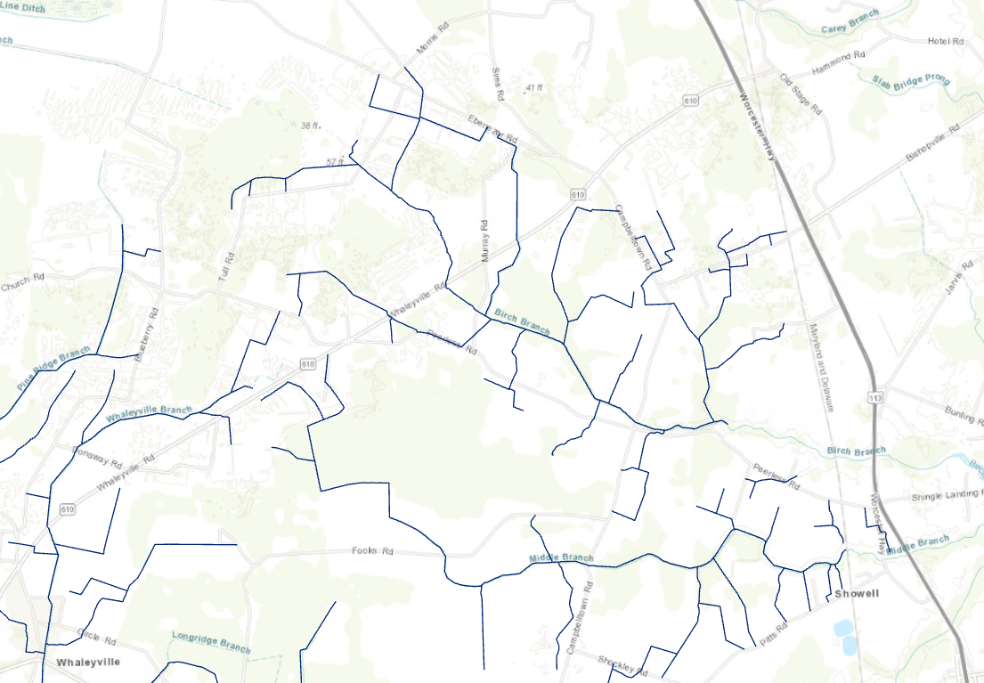
In the Summer and Fall of 2004 the ESRGC assisted the Maryland Department of Agriculture in digitizing and annotating tax ditches and public drainage associations in selected areas on the Lower Eastern Shore. Tax ditches from the Pocomoke, Nanticoke and Coastal Bays watersheds are available for free download as are PDAs from the Pocomoke and Coastal Bays watersheds.
All datasets are in compressed .zip format. To download, click on a link and save the file to your computer. Extract all the files from the .zip file to an appropriate location on your computer. The resulting file will be a shapefile to which can be opened with GIS software.
This data is also available on Maryland iMap.
View the tax ditch and public drainage association data on this application.