MSRC RMPIF - 500 year building heights
With funding provided by the Mid Shore Regional Council, through the Rural Maryland Prosperity Investment Fund, the Eastern Shore Regional GIS Cooperative (ESRGC) employed eight Salisbury University interns to collect foundation height estimates in Talbot County for properties that fall within a predictive flood scenario.
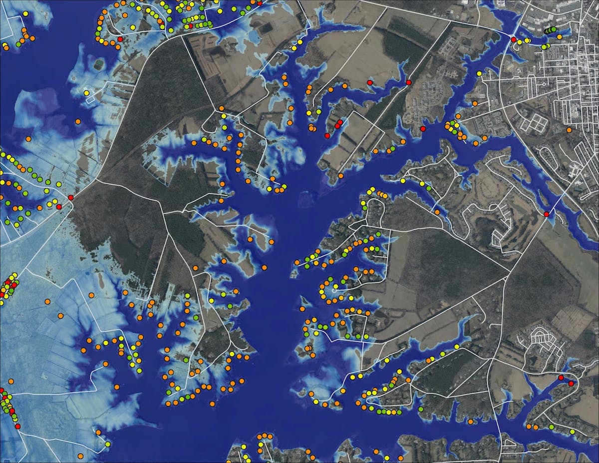
Our estimated sea level rise model output for year 2100, with a 0.2% annual exceedance probability flood, was used as the intersecting geometry for selecting properties in this study.
Foundation heights were estimated at six inch intervals to help in determining First-Floor Flooding* (FFF), a measure of structure vulnerability. These data will be useful in modeling future flood and vulnerability studies.
* FFF equation [Observed Flooding or BFE – Foundation Height = FFF].
Survey forms were developed and populated using ArcGIS Survey123. One survey per structure within the study area was collected, using the Survey123 mobile application on 8" Android tablets.
Date Completed
July 2020
Partners
- MSRC
Solutions
- Foundation Heights
- Flooding
- MSRC
- RMPIF